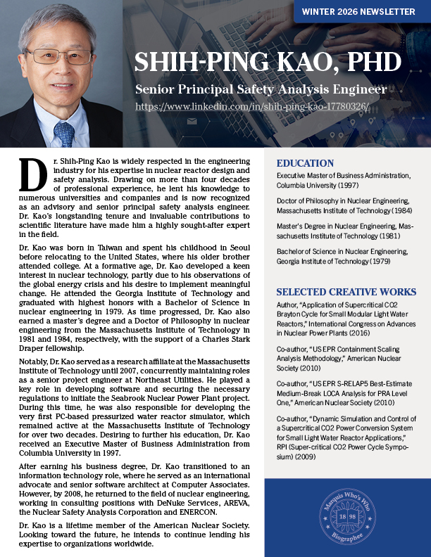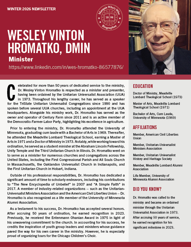
A native of Springfield, OH, Dr. George Franklin McCleary has become an accomplished educator in cartography and geography. In 1969, he received a Doctor of Philosophy from the University of Wisconsin-Madison, where he trained as a cartographer under Arthur Robinson. Also during this time, Dr. McCleary was an associate professor at Clark University in Worcester, MA. In 1974, he accepted a position as associate professor at the University of Kansas. During his appointment at the University of Kansas, his work focused on map design and production.
According to his colleagues, Margaret W. Pearce and Terry Slocum, Dr. McCleary can be credited with influencing the university’s course curriculum through his research on thematic map design. From the development of thematic technique, to the implementation of aesthetic design in print production, and the various teachings of design theory and praxis, he showed great interest in his field. He served as an associate professor at the university until receiving the title of emeritus professor in 2013.
As a respected voice in his field, Dr. McCleary has spoken at several industry conferences
throughout his career. In 2009, he presented his research on tourist map design at the 24th International Cartographic Conference (ICC) in Santiago, Chile. In 2010, he presented his research on cartographic design pedagogy at the North American Cartographic Information Society annual meeting in St. Petersburg, FL. Before embarking on his career in education, Dr. McCleary served in the United States Navy Reserve as a lieutenant for the United States Antarctic Projects Office.
Contact Dr. McCleary:


